linkedin

Critchlow Geospatial VS Radar

Let’s have a side-by-side comparison of Critchlow Geospatial vs Radar to find out which one is better. This software comparison between Critchlow Geospatial and Radar is based on genuine user reviews. Compare software prices, features, support, ease of use, and user reviews to make the best choice between these, and decide whether Critchlow Geospatial or Radar fits your business.

Quick View

  • Rating & Review
  • Platforms
  • Recommended
  • Not Available

  • icon_desktop icon_linux
  • Not Available

  • Not Available

  • icon_ubuntu icon_desktop icon_ios icon_Android icon_mac icon_linux
  • Not Available

Pricing

img

Price Plans

Price on Request

Get customise plan according to your business requirement

Get Now

Price on Request

Get customise plan according to your business requirement

Get Now

  • Free Trial
  • Lifetime Plan
  • img Free Trial
  • img
  • img Free Trial
  • img

Best Use for

img

Business Size:

  • img Individual
  • img 2-50 Employees
  • img 51-250 Employees
  • img 250-500 Employees
  • img 500-1000 Employees
  • img More than 1000+ Employees
  • img Individual
  • img 2-50 Employees
  • img 51-250 Employees
  • img 250-500 Employees
  • img 500-1000 Employees
  • img More than 1000+ Employees

Business Type:

  • img Small Business
  • img Startups
  • img Medium Business
  • img Enterprise
  • img SMBs
  • img SMEs
  • img MSMBs
  • img MSMEs
  • img Freelancers
  • img Individual
  • img Small Business
  • img Startups
  • img Medium Business
  • img Enterprise
  • img SMBs
  • img SMEs
  • img MSMBs
  • img MSMEs
  • img Freelancers
  • img Individual

Industries:

  • imgAll Industries
  • imgHospitality
  • imgHealthcare
  • imgITES
  • imgRetail
  • imgLogistics
  • imgAutomobiles
  • imgE-Commerce
  • imgReal Estate
  • imgTours and Travels
  • imgTransportation
  • imgInsurance
  • imgFinance
  • imgTelecom

We provide the best software solution for your business needs

img
img

Features

img

Product features

  • checked GIS Mapping
  • checked Reporting & Analytics
  • checked Real-Time Data Processing
  • checked Map Layer Management
  • checked Data Integrations
  • checked Advanced Data Cleansing
  • checked Geocoding
  • checked Address Validation
  • checked Route Planning
  • checked Route Optimization
  • checked Data Visualizations
  • checked Spatial Analysis
  • checked Network Analysis
  • checked Geofencing
  • checked Route Optimization
  • checked Places Search
  • checked Address Autocomplete
  • checked Address Validation
  • checked Geocoding
  • checked Geo-Compliance
  • checked Spoofing Detection
  • checked Location Verification
  • checked Real-time Location
  • checked Trip Tracking
  • checked Visit Detection
  • checked Alerts
  • checked Location Tracking
  • checked Route Matching

Specifications

img

Deployment

  • img Cloud-Based
  • img Perpetual
  • img Web-Based
  • img Hybrid
  • img Cloud-Based
  • img Perpetual
  • img Web-Based
  • img Hybrid

Device Supported

  • img Desktop
  • img Mobile
  • img iPad
  • img Tablet
  • img Desktop
  • img Mobile
  • img iPad
  • img Tablet

Supported Platforms

  • img Windows
  • img Mac OS
  • img Android
  • img iOS
  • img Linux
  • img Ubuntu
  • img Windows
  • img Mac OS
  • img Android
  • img iOS
  • img Linux
  • img Ubuntu

Languages support

  • imgEnglish
  • imgEnglish

Compliance Regulations:

  • img COPPA
  • img HIPAA
  • img CCPA
  • img CPRA
  • img ECPA
  • img GDPR
  • img DPDP
  • img SOC 2
  • img PCI DSS
  • img COPPA
  • img HIPAA
  • img CCPA
  • img CPRA
  • img ECPA
  • img GDPR
  • img DPDP
  • img SOC 2
  • img PCI DSS

Alternatives

img

Top Alternative Products

Woosmap

Woosmap


ArcGIS IPS

ArcGIS IPS


Foursquare Movement SDK

Foursquare Movement SDK


Foursquare Proximity

Foursquare Proximity


See all Critchlow Geospatial alternatives img
Geo Targetly

Geo Targetly


RTLS Studio

RTLS Studio


Infillion Gimbal

Infillion Gimbal


Kestrel Insights

Kestrel Insights


See all Radar alternatives img

Send this comparison to my inbox

img Get directly in your email inbox on your Whatsapp

Similar Comparison

Critchlow Geospatial vs Radar Comparison FAQs

Software questions,
answered

While Critchlow Geospatial offers customized features, Radar has diverse modules. Select between Critchlow Geospatial or Radar as per your business needs.

Both these products offer similar features but with a different approach. While Critchlow Geospatial emphasizes on user experiences, Radar focuses on functionalities.

It all depends on the functionalities that you prefer. While Critchlow Geospatial offers add-ons along with essential features, Radar emphasizes on customization.

No, the difference between Critchlow Geospatial and Radar lies in terms of features and functionalities. While Critchlow Geospatial can be customized as per the user’s needs, Radar addresses the diverse audience.

It depends upon your business requirement. Both Critchlow Geospatial and Radar provides standard features to cater diverse industry needs.

The difference lies in terms of the user interface and functionalities. While Critchlow Geospatial is customizable, Critchlow Geospatial offers comprehensive modules.

A Quick Comparison Between Critchlow Geospatial vs Radar

Choosing any software for your organisation is a crucial decision. As a decision maker, you must ensure that the software you choose addresses the pain points of your teams and reaps maximum benefit for you.

  • Comparison of Critchlow Geospatial vs Radar In terms of Features
  • Comparison Between Critchlow Geospatial and Radar In terms of Deployment Type
  • Critchlow Geospatial or Radar: Which Is Ideal for Your Industry
  • Which Is Better? - Critchlow Geospatial or Radar

Comparison of Critchlow Geospatial vs Radar In terms of Features

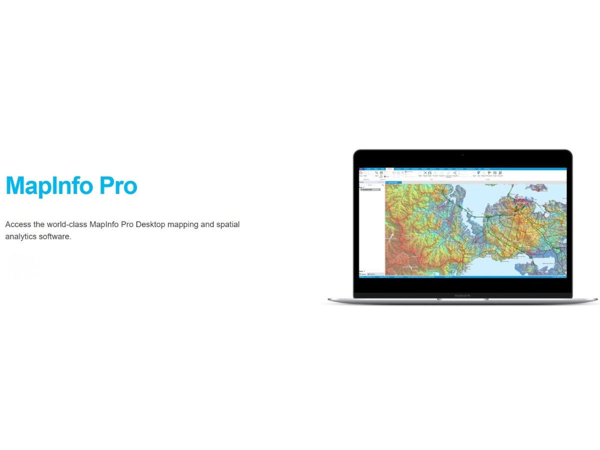
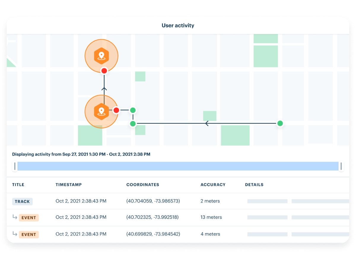
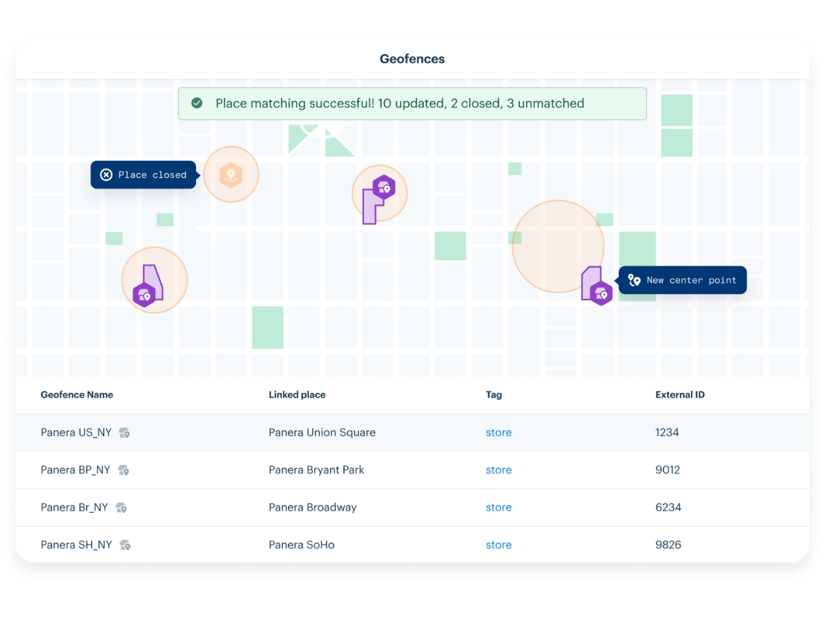
Critchlow Geospatial includes features like logistic, Reporting & Analytics, Data Processing and Layering System. Radar is known for functionalities like Geofencing, Route Optimization, Places of Interest (POI) and Search faster with autocomplete. When you compare Critchlow Geospatial vs Radar, look for scalability, customization, ease of use, customer support and other key factors. The one which suits your business needs is the best.

Comparison Between Critchlow Geospatial and Radar In terms of Deployment Type

While Critchlow Geospatial supports Web Based and 3 deployment; Radar is suitable for Web Based and 3 and 4 deployment. While selecting between Critchlow Geospatial and Radar, figure out which one of the two is compatible with your devices. This will help in reducing the hassle after implementation.

Critchlow Geospatial or Radar: Which Is Ideal for Your Industry

Critchlow Geospatial is ideal for industries like All Industries. For Hospitality, Healthcare and ITES, Radar is a better choice. If you are confused between Critchlow Geospatial or Radar, you can also check if the software has customizable modules for your industry. Industry-specific functionalities will ensure higher efficiency and ROI. However, do check for the hidden price, is any.

Which Is Better? - Critchlow Geospatial or Radar

Critchlow Geospatial and Radar can be used for different purposes and are well-suited for teams with specific needs. If you are looking for a platform that is easy to use, has low barriers to entry, and offers a lot of customization, flexibility, and integration options, then you must compare their specifications in detail at the time of demo. Compare Critchlow Geospatial and Radar during demo to decide which one is best for your business.

Add Software to Compare

close

Recommended Products

21,000+ Software Listed 21,000+ Software Listed

Best Price Guaranteed Unbiased Comparison

Free Expert
                        Consultation Read Authentic Reviews

5M+ Happy Customers 500,000+ Monthly Users