
Description
Pricing
Features
Specification
Review
Alternatives

 View Gallery
Brand: Critchlow Geospatial

Get Free Expert Consultation
Let us know your business needs clearly

Verified & Trusted
Vendors

Safe & Secure
Payment

Personalized
Experts Support
Price On Request
Features
 GIS Mapping Spatial Analysis Data Visualizations Route Optimization Route Planning
See all 
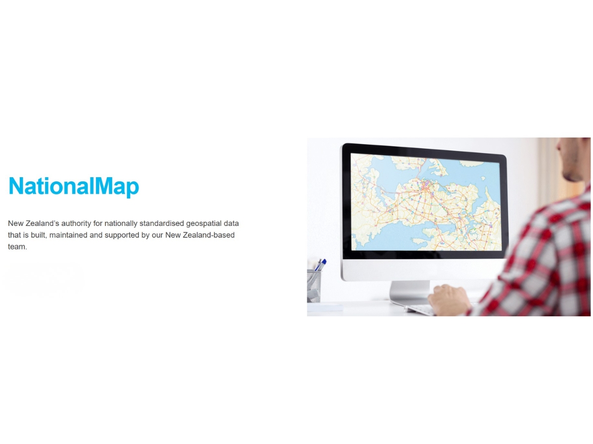
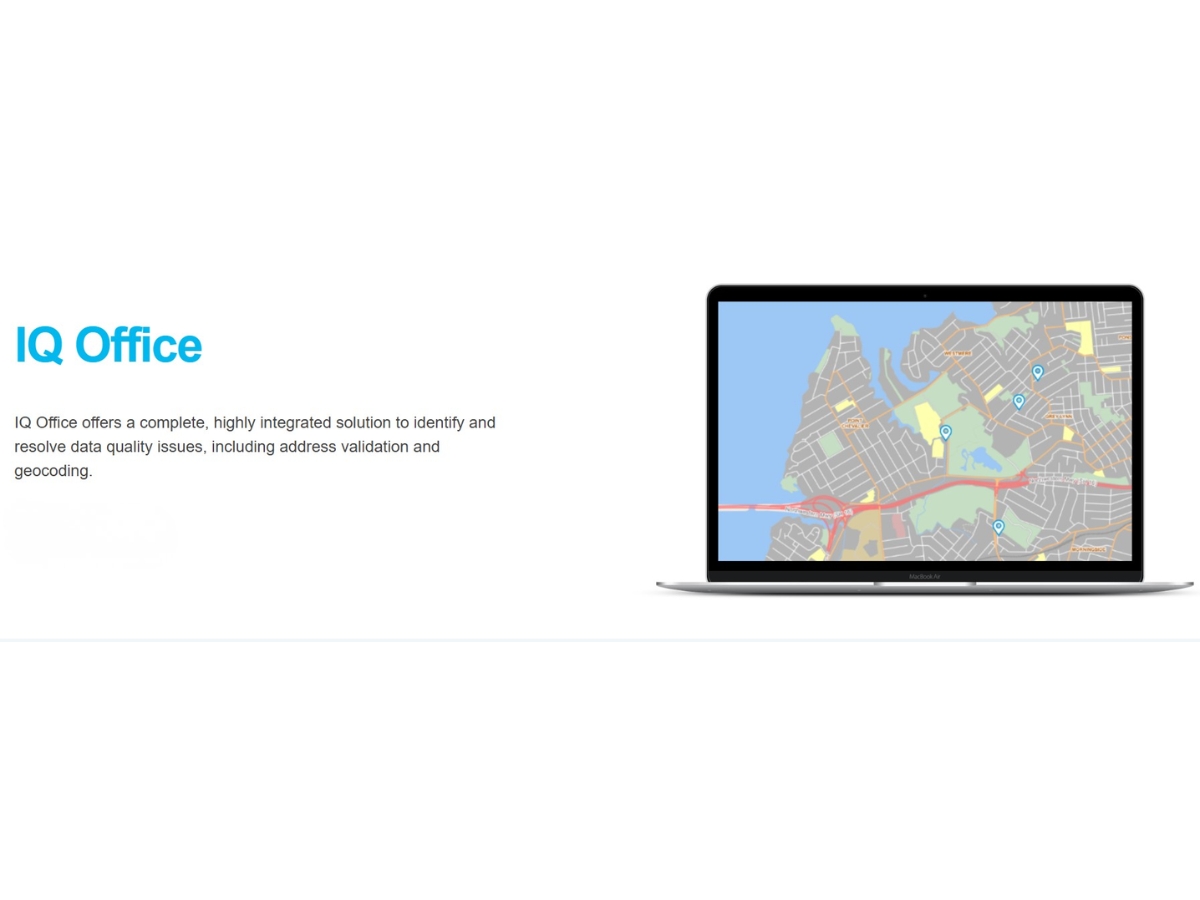
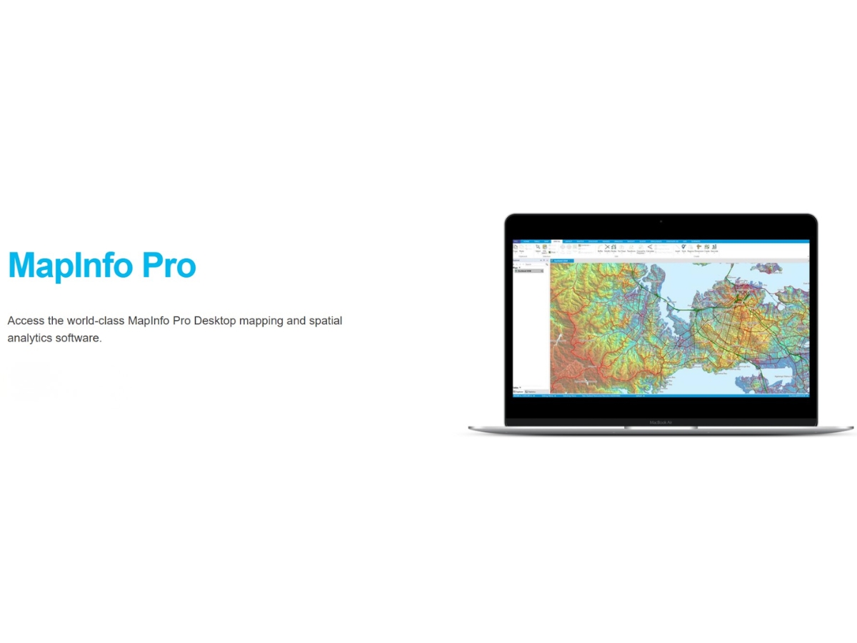
 GIS Mapping Create and manage geographic maps to visualise spatial data, identify location-based patterns, and support informed decisions. Spatial Analysis Analyse geographic datasets to identify spatial relationships, distribution patterns, and trends for better business planning. Data Visualizations Present location-based information through interactive maps and visual representations to simplify complex geographic insights. Route Optimization Automatically calculate efficient multi-stop routes using road networks, delivery locations, vehicle availability, and time Route Planning Plan delivery journeys by organising multiple destinations, estimating travel requirements, and improving operational efficiency. Address Validation Validate and correct address information using authoritative reference data to improve delivery accuracy and reduce failed visits. Geocoding Convert postal addresses and location descriptions into geographic coordinates to support mapping, navigation, and spatial Advanced Data Cleansing Identify and correct inaccurate, incomplete, or duplicate records to maintain reliable and consistent business information. Data Integrations Connect geospatial datasets with existing GIS, CAD, and business systems to support consistent information access and analysis. Map Layer Management Organise and display geographic information in separate layers to compare datasets and analyse multiple spatial elements together. Real-Time Data Processing Process address and geospatial information in real time to support timely validation, geocoding, and business workflows. Reporting & Analytics Use geographic data and spatial insights to evaluate operational performance, identify trends, and support evidence-based Network Analysis Analyse road and transport networks to evaluate connectivity, accessibility, and efficient movement between multiple destinations.
| Brand Name | Critchlow Geospatial |
| Information | Critchlow is a business development firm that deals with measurement services, efficiency, risk distribution & route optimisation. |
| Founded Year | 1991 |
| Director/Founders | Steve Critchlow |
| Company Size | 1-100 Employees |
 UAE
 India
